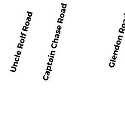
19 UNCLE ROLF ROAD DP
Owner Information
HOSMER FAMILY LLC
11 GARDNER STREET
BEVERLY, MA 01915


Property Details
19 UNCLE ROLF ROAD DP is classified as a Single Family Residential (Ranch).
The primary structure on this property was built in 1950. There are 1,128ft2 of built area within this property. There is 1,128ft2 of residential/living space within this property. This property is listed as having 5 rooms.
19 UNCLE ROLF ROAD DP is valued at $366,100. The land is valued at $192,200 and the structures are valued at $172,500. There is an additional valuation of $1,400 on this property.
19 UNCLE ROLF ROAD DP was last sold on Thursday, June 8, 2017 for $0.
Assessment data from fiscal year 2022.
Flood Data
This property is partially within the AE Zone (within floodplain). Approximately 0.02 acres (14.44%) of the property is within this zone.
The base flood elevation for this flood zone is 11 feet.
This information is sourced from the FEMA National Flood Hazard Layer. See our full disclamer.
Broadband Internet Providers
| Provider | Type | Bandwidth (mbps) | |
|---|---|---|---|
| HughesNet | Satellite | 25 | 3 |
| VSAT Systems, LLC. | Satellite | 2 | 1 |
| Viasat Inc | Satellite | 35 | 3 |
| Verizon New England Inc. | DSL | 5 | 0 |
| Comcast | Cable | 1000 | 35 |
| GCI Communication Corp. | Satellite | 0 | 0 |
Broadband service provider data from December 2020.